
TSLAWI: Building a High-Resolution Salt Model from Scratch
Resolving complex sub-salt geology without prior models or well data.
Note: The nearby well (Well A*) was used for validation only and was not part of the inversion sequence.
The Workflow
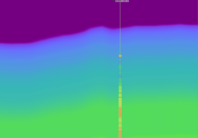
1D Compaction Trend
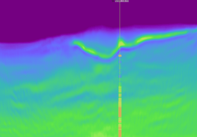
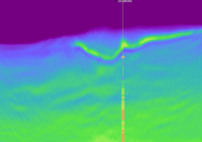
Top Salt Recovered
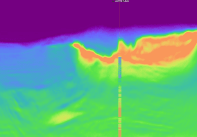
Base Salt Recovered
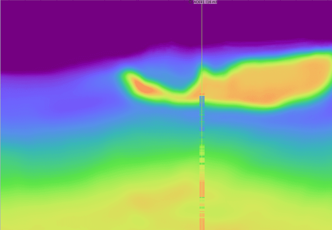
Sub-Salt Updated
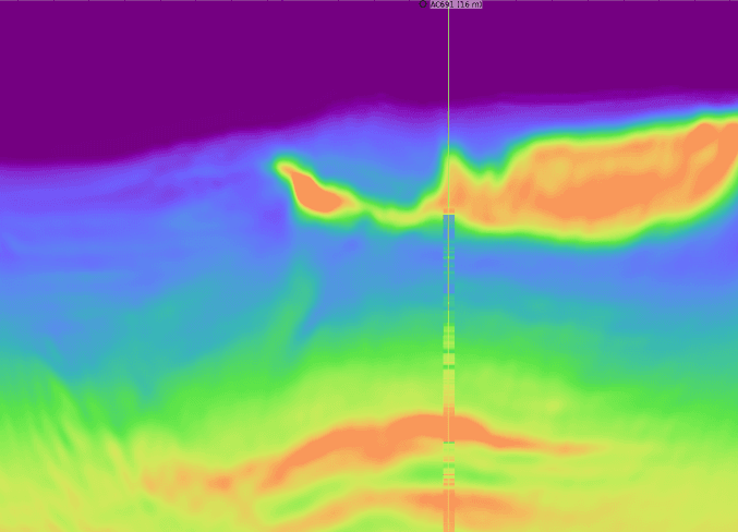
AWI
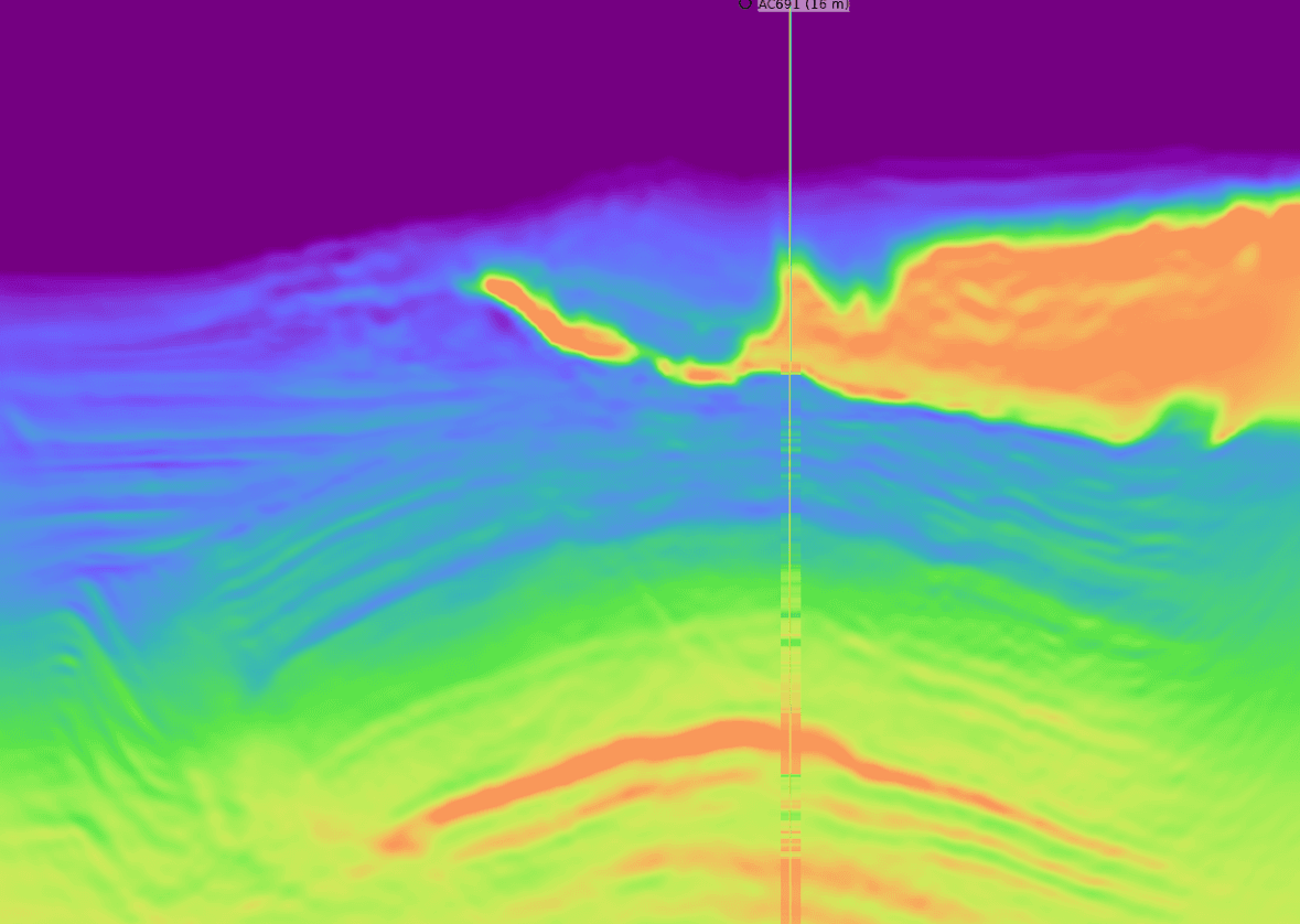
TSL-AWI & RWI
The Step-by-Step Process
Step 0: Initial Compaction Trend
1 / 11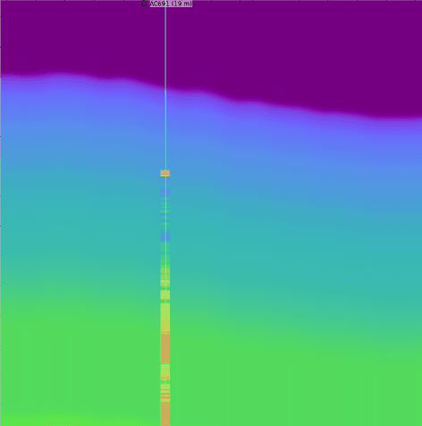
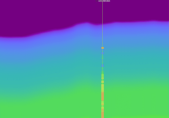
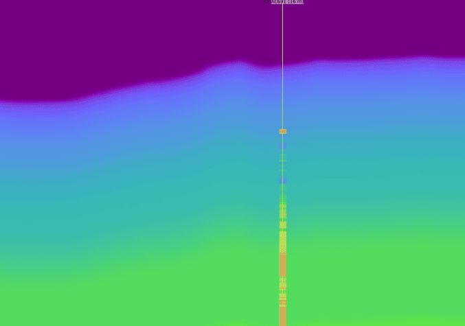
Our starting point is a simple 1D compaction trend model in an area with a 2km water depth. As the validation well data shows, this initial model is far from the true velocity trend and is significantly cycle-skipped even at a low frequency of 2 Hz. We begin the process with no access to any pre-existing velocity models or RTM images.
The Result: Superior Sub-Salt Imaging
Conventional RTM (15Hz)
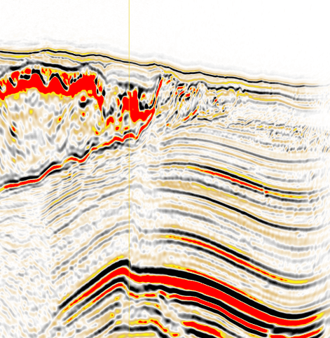
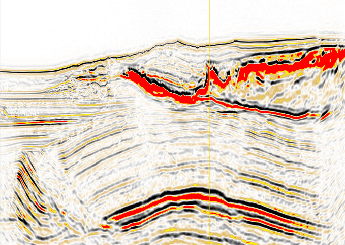
1 / 2The Reverse Time Migration (RTM) image generated here at 15Hz using the final XWI model provides a clear result. However, as highlighted, it suffers from illumination shadows in the complex geology directly beneath the salt.
Summary: The Complete 10-Step XWI Sequence
This workflow demonstrates a robust, data-driven method for building a high-fidelity salt velocity model from a simple starting point. By systematically applying and relaxing constraints, updating background trends, and interleaving different inversion objective functions, XWI delivers a final model that powers superior sub-salt imaging.
0: 1D Compaction Trend
Top Salt Recovered
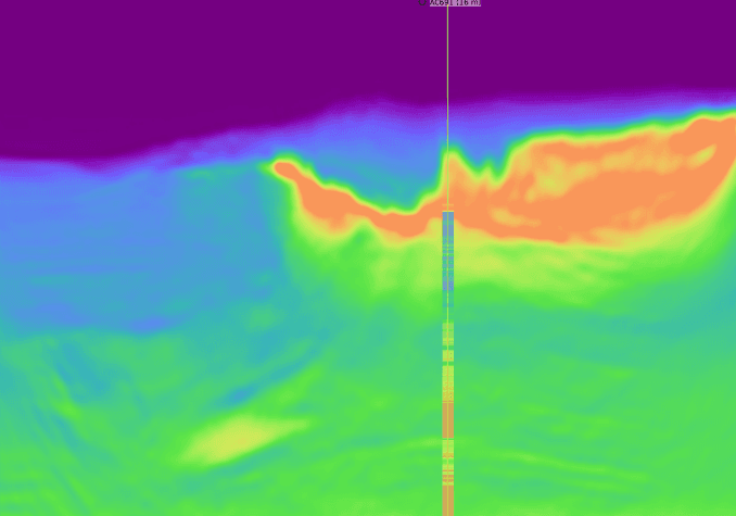
Base Salt Recovered
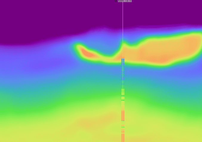
Sub-Salt Updated
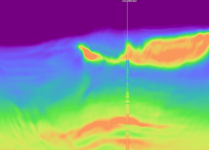
AWI
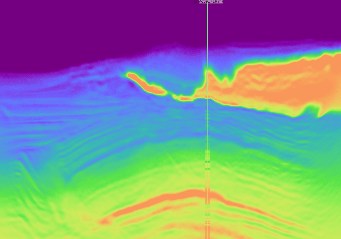
TSL-AWI & RWI